Sustaining the Suwannee
An expedition down Florida’s wild blackwater river.
The Suwannee River stretches 246 miles over sandy banks and limestone bluffs from southeastern Georgia all the way to the Gulf of Mexico.
Each area of the Suwannee has its own significance. The upper Suwannee area is a unique geological and historical waterway. The middle Suwannee area is an example of how humans have altered and impacted the natural water system. The lower Suwannee area shows how changing conditions upriver combined with global climate change is influencing coastal ecosystems.
Click on the sections below to explore the Suwannee River.

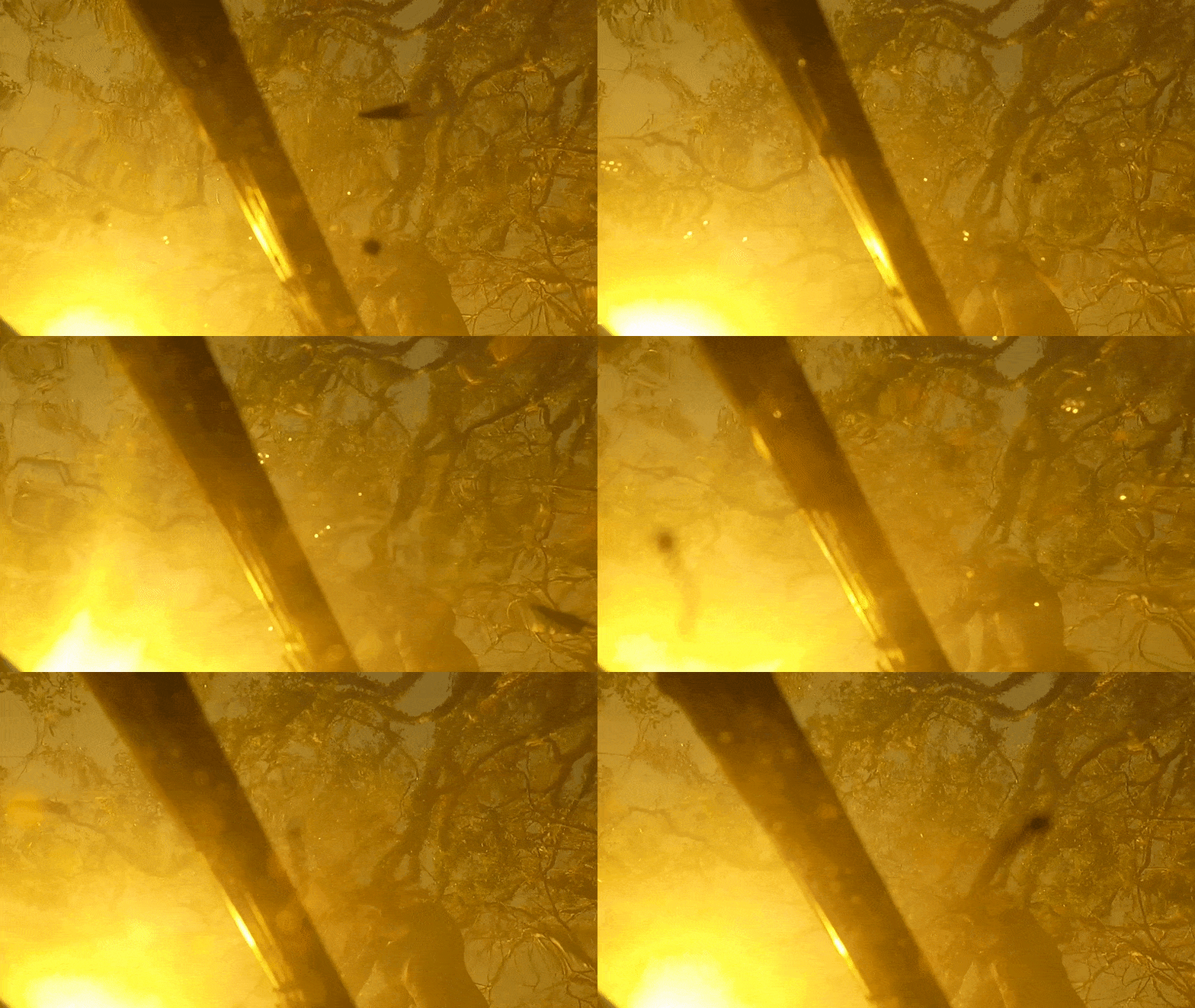
Upper Suwannee: Blackwater and Trembling Earth
The upper Suwannee River, also known as a “blackwater river,” forms as it drains from the Okefenokee Swamp on an unimpeded path to the Gulf of Mexico. The river carved its way through the region’s unique geologic history long before humans ever inhabited its banks, but the story of the Suwannee can’t be told without the people who have lived along Florida’s wild river.

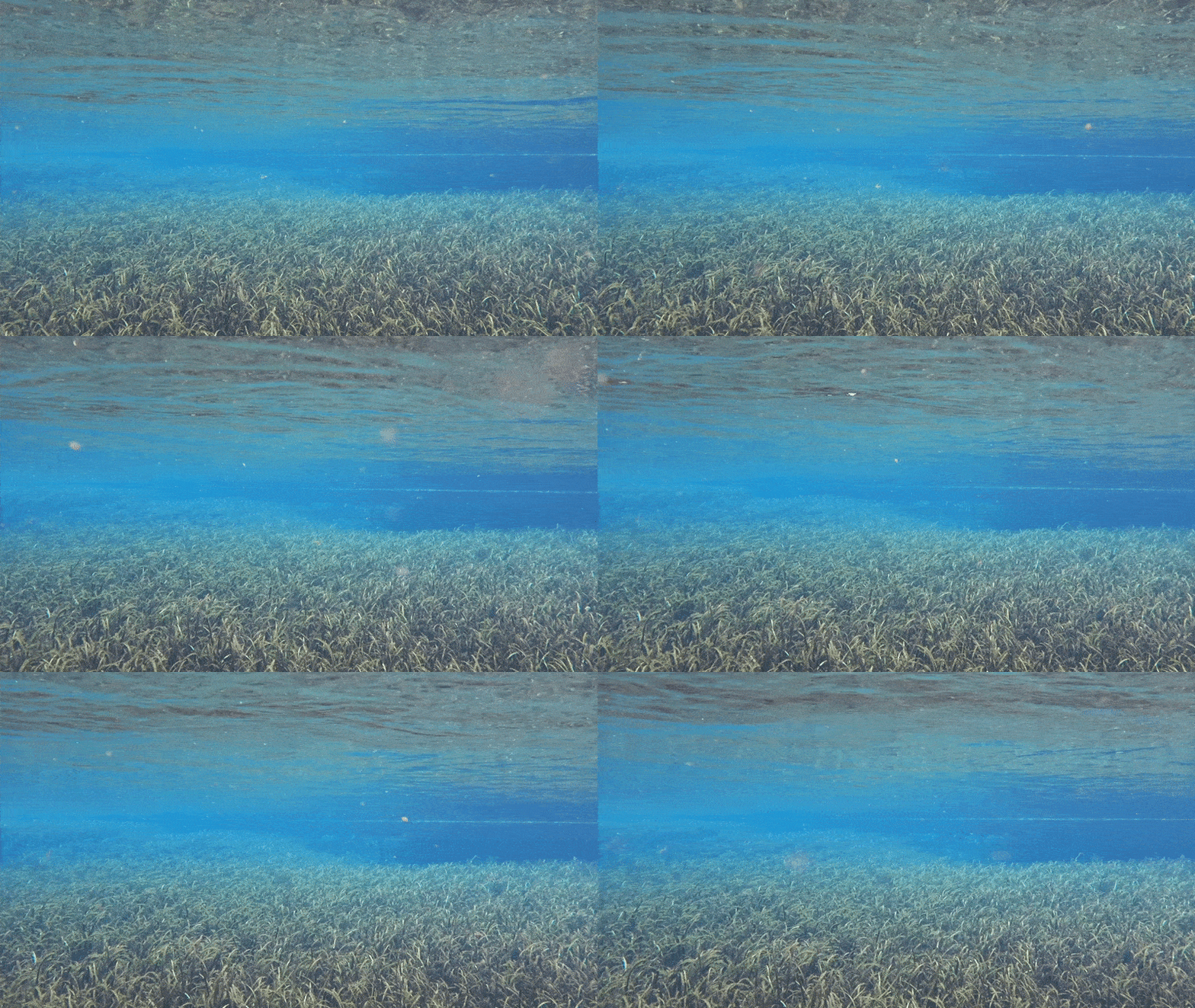
Middle Suwannee: The Human Connection
Humans rely on water for agriculture, development and life. Everything in the Suwannee basin is connected to the water that flows in the river and underground, in the aquifer. The aquifer shows how humans are straining the health of these waters.

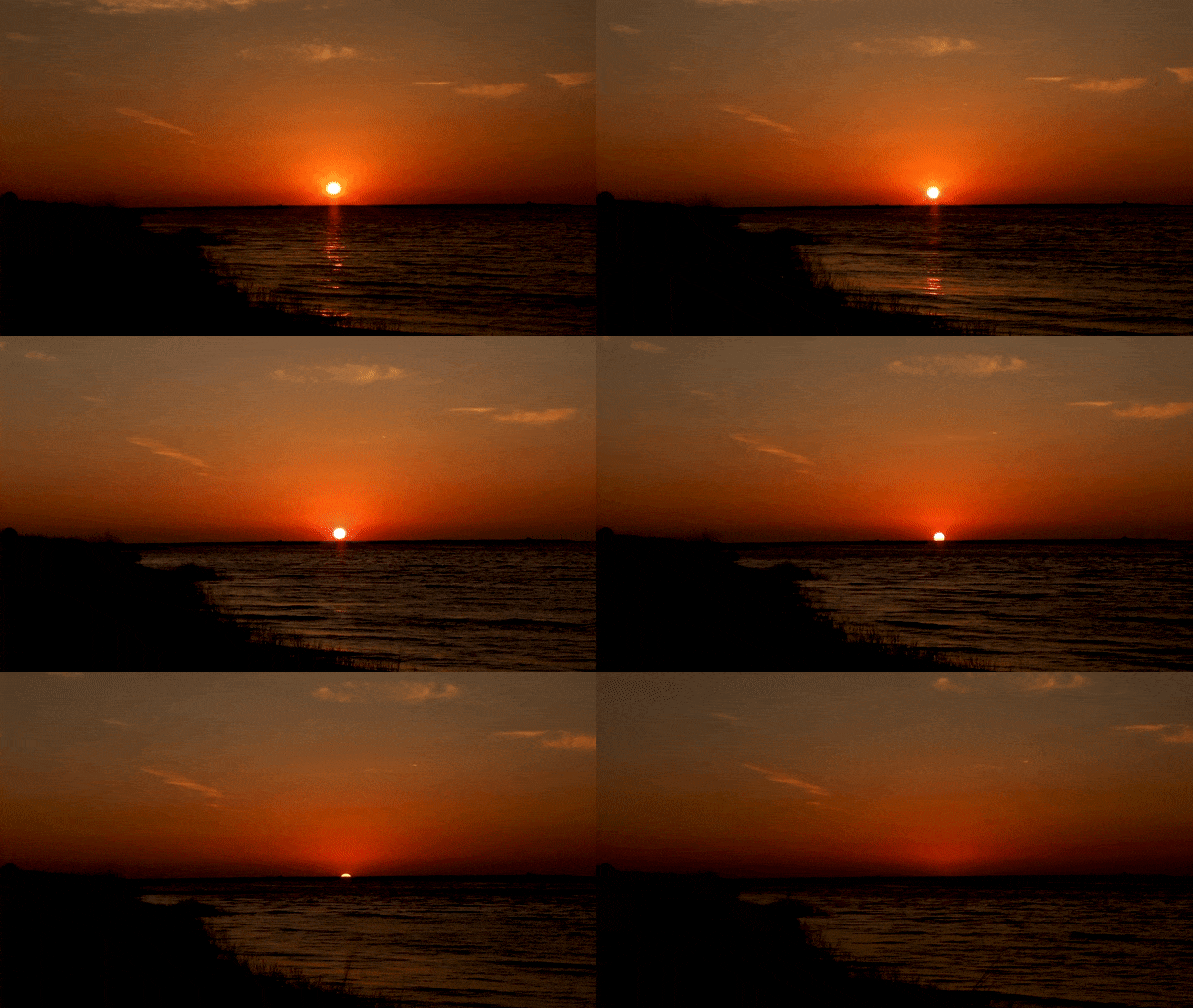
Lower Suwannee: Tides of Change
The Suwannee River has always been characterized by natural change, but human influences are altering the river quickly. Global climate change is expected to cause rising sea levels, increased temperatures and more intense periods of drought and rain. The coastal ecosystem at the mouth of the Suwannee is already showing signs of these effects.
Created by Joshua Baker